One of the basic requirements to successfully manage a natural area is to have a map of it! Until recently, our geographic understanding of Cocobolo was limited as there were no recent, exhaustive map of the reserve. Over the last years, we’ve been improving this situation by:
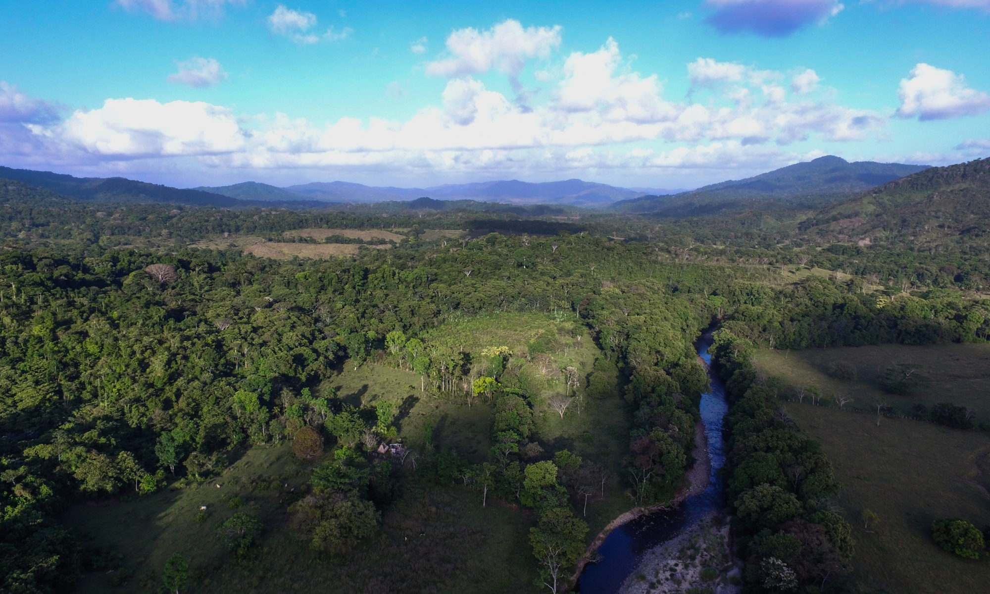
- flying a fixed-winged drone to acquire an aerial image of the reserve with Virginia Tech;
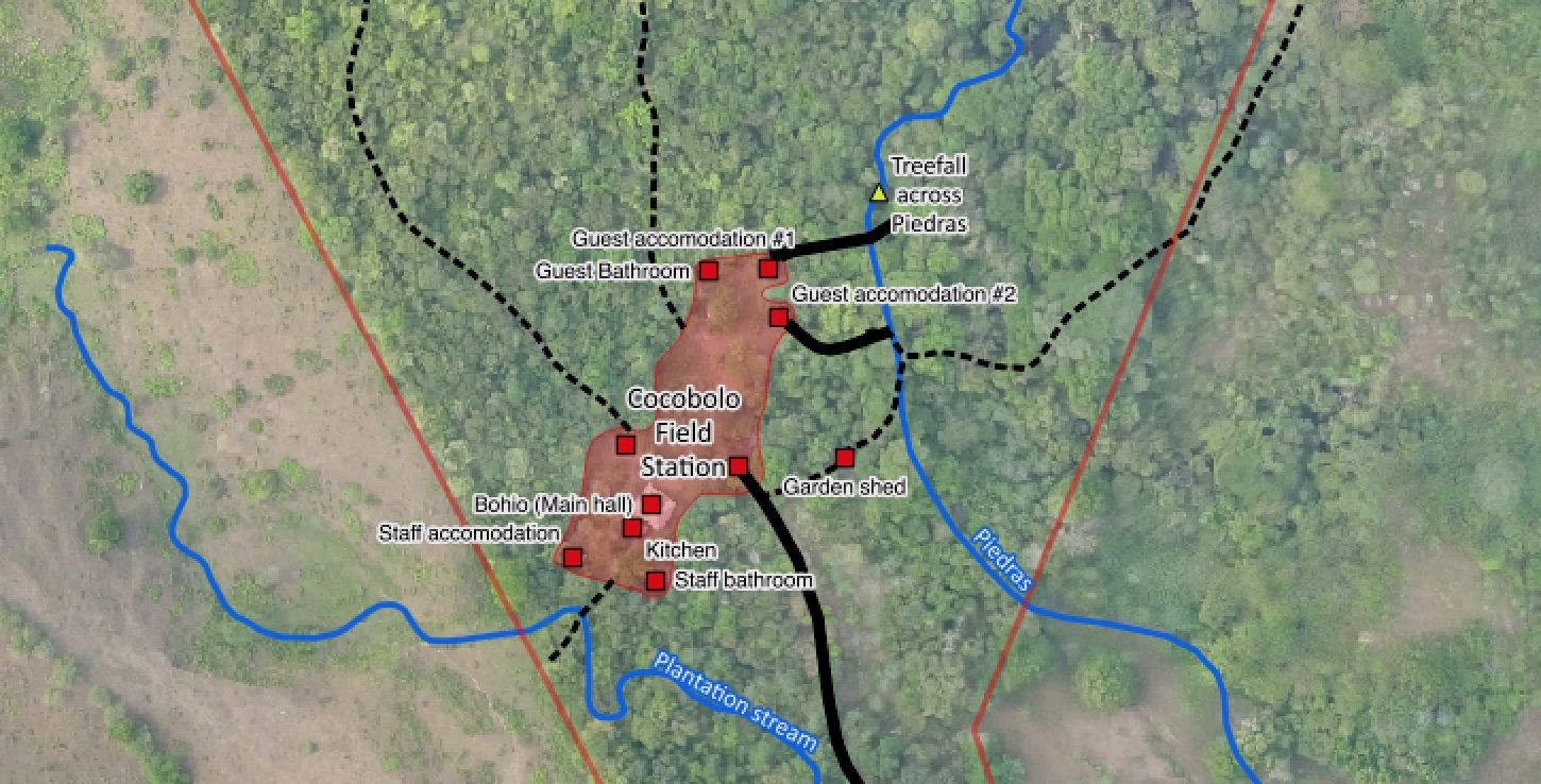
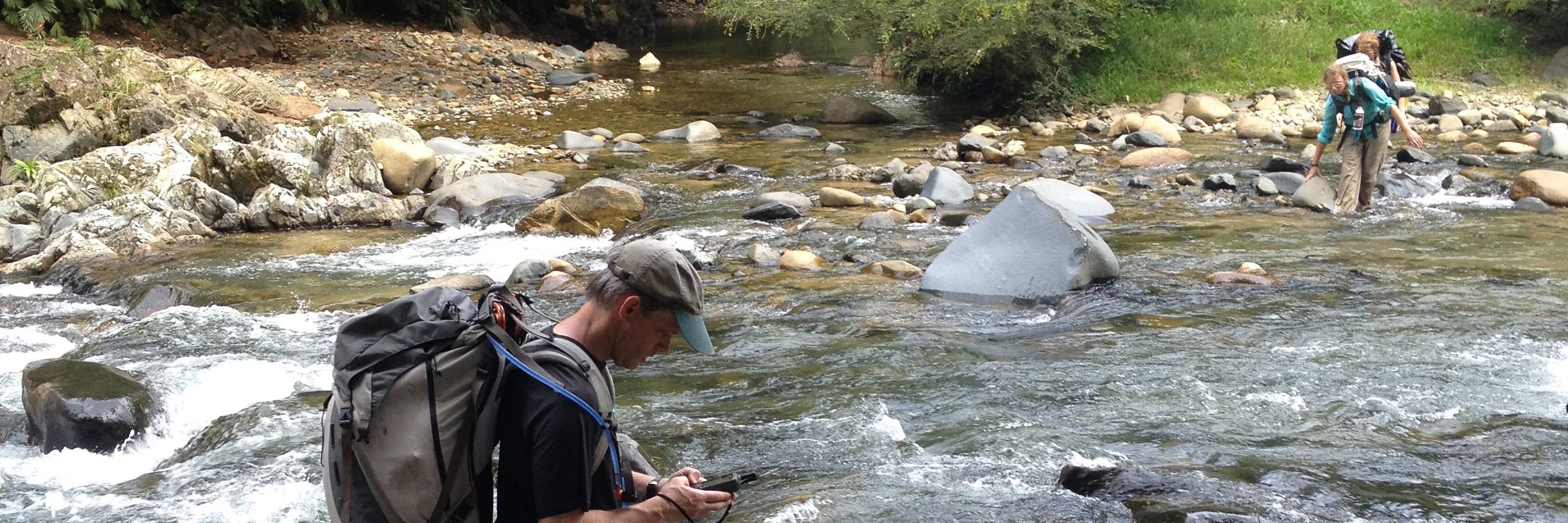
- mapping our trails and streams across Cocobolo using GPS-based data collection;
- recording more systematically our biodiversity data (species, date/time, location).
We know very little about how landscapes (geology, ecology and human intervention) interact to determine species distributions and how they affect ecosystem services. Geographic Information Systems (GIS) promises to be able to help us understand biodiversity and conservation priorities from a landscape perspective and will help us forecast how change, such as climate change, will affect those patterns so that we can work towards adapting to those shifts before they happen. A recent study found Keel-billed Toucans living up to elevations of 1500m in Costa Rica due to higher temperatures.

CREA has developed a basic GIS base layer map for the Cocobolo Nature Reserve, however we are now embarking on adding greater detail. We have never been able to obtain a satellite image with enough resolution that is relevant to the Reserve and hence we intend to use drone technology to help us do this.

Collaborators
Funders
- SENACYT (closed)